The SIRIUS Wildfire Alliance team, which includes researchers from the University of Cambridge, has advanced to the finals of the XPRIZE wildfire competition.
XPRIZE Wildfire competition is a 4-year, $11 million competition incentivising the innovation of firefighting technologies that will end destructive wildfires so that humanity and beneficial wildfire can safely co-exist.
XPRIZE is a nonprofit organisation that designs and manages public competitions intended to encourage technological development to benefit humanity. It was founded by Peter Diamandis, with the goal of using large-scale incentive prizes to spark innovation in areas where progress is needed.
Cambridge engineering alumni Dr Savvas Gkantonas and Dr Andrea Giusti along with Epaminondas Mastorakos, Hopkinson/ICI Professor of Applied Thermodynamics at University of Cambridge, and Dr Daniel Fredrich are part of SIRIUS (Space Intelligence for Resilient InfrastrUctureS) Wildfire Alliance team together with other established academics and researchers from top universities, ambitious startups from the UK and Australia, and wildfire management professionals specialised in satellite technology, wildfire detection and wildfire spread modelling.
SIRIUS Wildfire Alliance aims to utilise advanced space edge computing, AI-based detection techniques and novel physics-based wildfire spread modelling. After completing the semi-finals they are one of the top 6 teams and they have received $50,000 in recognition of the distinct data analytic capabilities their systems demonstrated during semi-final testing.
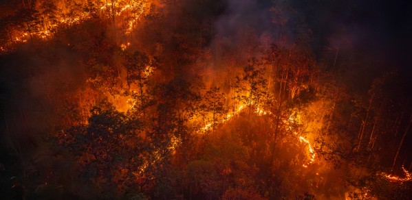
In the final competition of the the XPRIZE Wildfire Space-Based Detection & Intelligence track teams will have one minute to detect fires across a landscape larger than entire states or countries, and 10 minutes to characterise and report data with the least false positives to decision-makers on the ground.
SIRIUS Wildfire Alliance will deliver high-resolution wildfire nowcasting and forecasting by integrating Earth Observations, AI, GIS, a cutting-edge wildfire spread model and a unique combination of ground and space-edge computing.
|
Open call for satellite imagery partners As part of its mission to build the next generation of wildfire intelligence systems, SIRIUS Wildfire Alliance is actively seeking to partner with satellite imagery providers who can supply high-resolution data with the lowest possible latency or who can host third-party algorithms onboard to support their wildfire detection and monitoring efforts. They are especially interested in partners who can help push the limits of current capabilities in both data acquisition and delivery, going beyond what is publicly available. If you are a satellite operator or data provider with capabilities in rapid revisit, optical, thermal, multispectral, or hyperspectral imaging and/or edge computing, and are interested in supporting breakthrough technologies to mitigate wildfire risk, SIRIUS Wildfire Alliance would love to hear from you. Please contact SIRIUS Wildfire Alliance directly to explore potential partnerships via the SIRIUS Wildfire Alliance LinkedIn page or email: contact@pinepeak.co.uk |
By leveraging onboard computations and efficient telemetry, SIRIUS Wildfire Alliance can employ advanced but typically time-consuming techniques for granular spread and false positive detection, provide early information for emergency response, and recommend efficient firefighting resource allocations.
XPRIZE wildfire competition is a 4-year, $11 million competition incentivising the innovation of firefighting technologies that will end destructive wildfires so that humanity and beneficial wildfire can safely co-exist. The prize aims to transform current wildfire management approaches through the development of new technologies that can rapidly and accurately detect, characterise, and respond to wildfires before they become destructive.
XPRIZE Wildfire Space-Based Detection & Intelligence Track semifinal testing was held remotely with teams testing from their home bases around the world. XPRIZE staff and judges—experts in fire management, satellite intelligence, remote sensing, and other relevant fields—gathered at the Esri headquarters in Redlands, California throughout the testing and judging periods.
Semifinals testing tasked teams with accurately and precisely detecting and characterising target fires using historical fire data while minimising false positives.
Over the course of 12-hour testing windows, teams presented their diverse approaches, ranging from physics-informed modelling to deep learning and large language models, pioneered exclusively for detecting and monitoring wildfires in real-time.
These cutting-edge solutions demonstrated the analytical strengths of each team's system and their ability to apply the necessary tools, methods, and procedures to process, arrange, and scrutinise Earth observation data effectively.
SIRIUS Wildfire Alliance team member alumnus Dr Gkantonas has spun out a company with alumnus Dr Andrea Giusti, Dr Fredrich, and Professor Mastorakos. The company is called Pinepeak. Pinepeak develops physics-driven technology to predict wildfire risk and behaviour across any terrain, anywhere in the world.
Pinepeak supports SIRIUS Wildfire Alliance with everything related to wildfire forecasting and has a very critical role.
Pinepeak was born out of a deeply personal experience. After witnessing firsthand, the devastation caused by the 2018 wildfire in Mati, Greece, co-founder and CEO Dr Gkantonas and his former PhD supervisor Professor Epaminondas Mastorakos asked themselves: “Why were some homes destroyed while others nearby remained virtually untouched? And why are there no tools available to accurately predict this?”
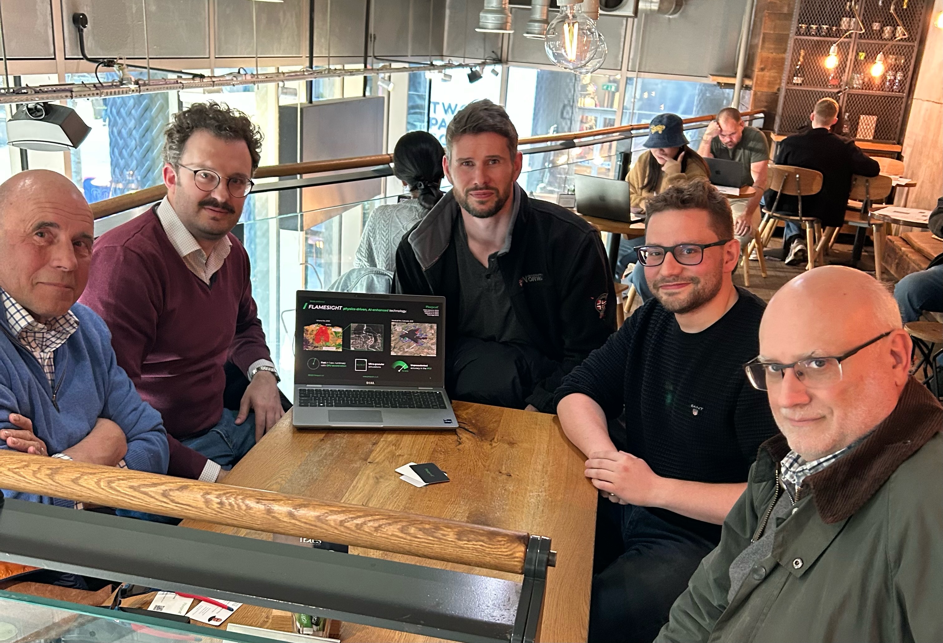
Photo above: The four co-founders of Pinepeak and their strategic adviser. Pictured, from left, Richard Green (strategic adviser), Dr Andrea Giusti, Dr Daniel Fredrich, Dr Savvas Gkantonas and Professor Epaminondas Mastorakos.
Congratulations to SIRIUS Wildfire Alliance as they advance in the XPRIZE competition. Their solutions underscore the immense potential of these technologies to help communities better prepare for natural disasters.
